We can’t just go protecting habitat and sites willy-Nilly. this thing goes with sense, so I am using GEE to create habitat maps.

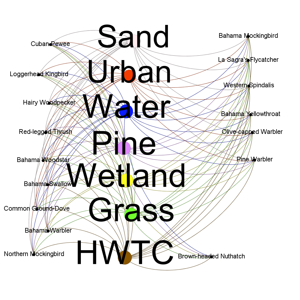
Then I look at which species are using the habitat using R and GEPHI to create network maps.
Maybe you are interested in species that use the Detroit River Valley and also the Bahamas?

or maybe species that are endemic or resident to the Bahamas?
And you know what? These maps and network maps can be generated for free, with a computer and an internet connection plus a working knowledge of the environment.

Leave a comment